

Trinity Wharf Development
Brief
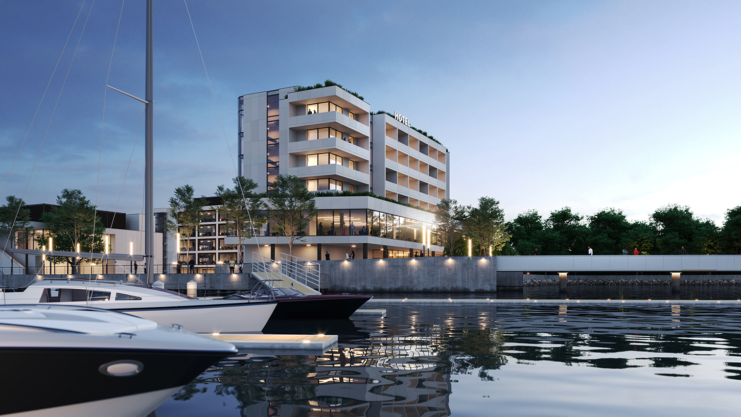
The Trinity Wharf Development is a transformative €120m project aimed at revitalizing Wexford’s waterfront with a modern, sustainable, and integrated urban space. Located on a prime 3.6-hectare site, this mixed-use development will create a vibrant hub for business, leisure, and residential use, cementing Wexford as a key player in regional economic growth.
The visualisation services for Trinity Wharf aimed to:
- Producing verified view montages that demonstrate the development’s architectural integration into Wexford’s skyline and waterfront, meeting stringent planning requirements.
- Developing immersive visuals of the marina, boardwalk, and public spaces to showcase their role in enhancing the waterfront’s appeal and accessibility.
- Showcasing the development’s accessibility through detailed visuals of transport links, including the pedestrian bridge, vehicular access points, and connections to Wexford town.
Service Deliverables:
- Drone Tracking
- Animation
Use the slider to view before & after
Use the slider to view before & after
No items found.
Methodology
1. Drone Tracking
Pre-Shoot Planning:
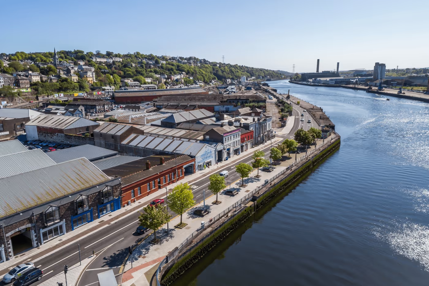
- Review surrounding context to identify key angles and paths for tracking shots.
- Obtain necessary permissions, including flight permits and site access clearances, in compliance with local aviation regulations and guidelines.
- Plan for weather conditions, ensuring optimal lighting and minimal wind for smooth footage capture.
Capturing Footage:
- Establish a safe perimeter for the drone operation and communicate with on-site personnel to avoid disruptions.
- Define precise flight paths using GPS-enabled drone software to capture specific views such as approaches to the site, panoramic overviews, and close-ups of critical areas like façades and community spaces.
- Program smooth transitions for aerial tracking shots that highlight the height variation and stepped design of the development.
Post Processing & Model Alignment
- Import raw footage into editing software for stabilization, color grading, and any necessary corrections
- Combine drone footage with photorealistic 3d model to visualize the completed development in context
- Use overlays to simulate the finished buildings, landscaping, and public spaces, enhancing the footage’s impact for planning or marketing purposes.

(Click image above to browse Gallery)
2. Animation
Steps:
1. Storyboard Development:
- Develop a narrative script that aligns with the project’s marketing and communication goals.
- Define camera paths and focus areas for the animation with the clients.
2. 3D Model Optimization:
- Prepare a version of the 3D model optimized for animation.
3. Camera and Scene Setup:
- Develop camera paths using cinematic techniques such as panning, dolly shots, and zooms.
- Set up key frames to control motion and focus dynamically.
4. Dynamic Elements:
- Integrate animated elements like moving people and vehicles
- Add environmental effects like wind-blown foliage or water ripples for realism.
5. Rendering:
- Render the animation sequence using GPU-accelerated engines like Unreal Engine or V-Ray.
6. Post-Production:
- Edit using software like Adobe After Effects
- Include voiceovers, sound effects and music to elevate the narrative.
7. Final Delivery:
- Deliver in multiple formats over Vimeo platform.


